
It’s been great to see how many people have been using our existing imagery and embeddings have been getting on Source.coop – over 3.1 million downloads in just the past 90 days alone – but also integration into tools like TorchGeo. This is exactly what kinds of dividends we were hoping to see by making this data publically available!
Today we’re excited to announce that we’re releasing major updates to both our embeddings and imagery, again both are available on Source.coop.
Earth Index Embeddings
There are several major changes in these embeddings, the most significant being that we’re returned to using the SSL4EO model from our friends at Zhu Labs. That means these new embeddings are NOT compatible with the previous embeddings which were generated using the Softcon Model.
Besides this fundamental change we’ve also made some improvements to how pixels were sampled into patch embeddings, reducing the number of embeddings affected by null values which could generate artifacts around the edges of the overall embedding geometries.
Finally, these embeddings are now valid geoparquet v1.1 and also adhere to the STAC Geoembedding standard currently in development. This means that the STAC metadata is available both in our STAC catalogue but also the same metadata is embedded inside the header of the geoparquet file itself. This allows us to retain the discovery and provenance metadata as files are downloaded and stored in unexpected locations.
Earth Index Imagery
As you’d expect with new embeddings, we’ve also made some improvements to the imagery used to generate them. We’ve adopted and customized the S2Mosaic library and make significant use of the OCM cloud mask which is a significant improvement over the previous in-house approach using the Sentinel 2 SCL band.
For the yearly composites we’ve also made changes in how candidate images are selected and layered. We now attempt to select scenes that correspond to growing seasons in temperate zones, preferring July in the northern hemisphere and December in the southern hemisphere. Other algorithm changes have been made to reduce pixelwise change and create composites that are more consistent but still use real pixel values rather than using a median or other statistically calculated values. This results in more realistic imagery and therefore better embeddings.
Come get em!
Both Imagery and Embeddings are available now at their respective repositories. The most recently processed yearly composite ends Aug 16, 2026 so these are pretty fresh!
We’d love to hear about what you’re doing with this stuff - drop us a line at info@earthgenome.org or info@earthindex.ai and tell us all about it!
Other articles
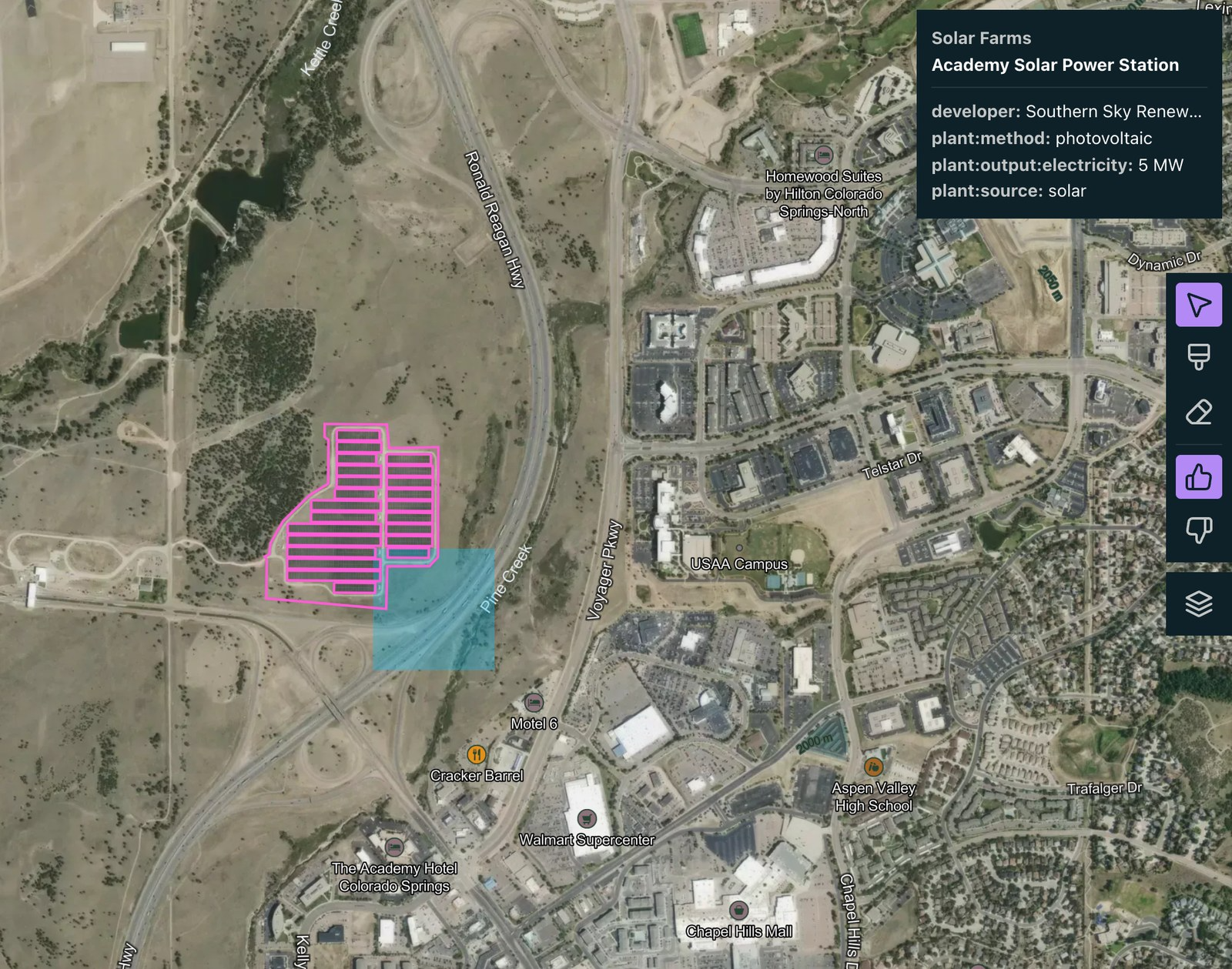

Search for Stuff: build a map layer by describing what you want to find
You can now create reference layers in Earth Index by describing what you want to find in plain language.

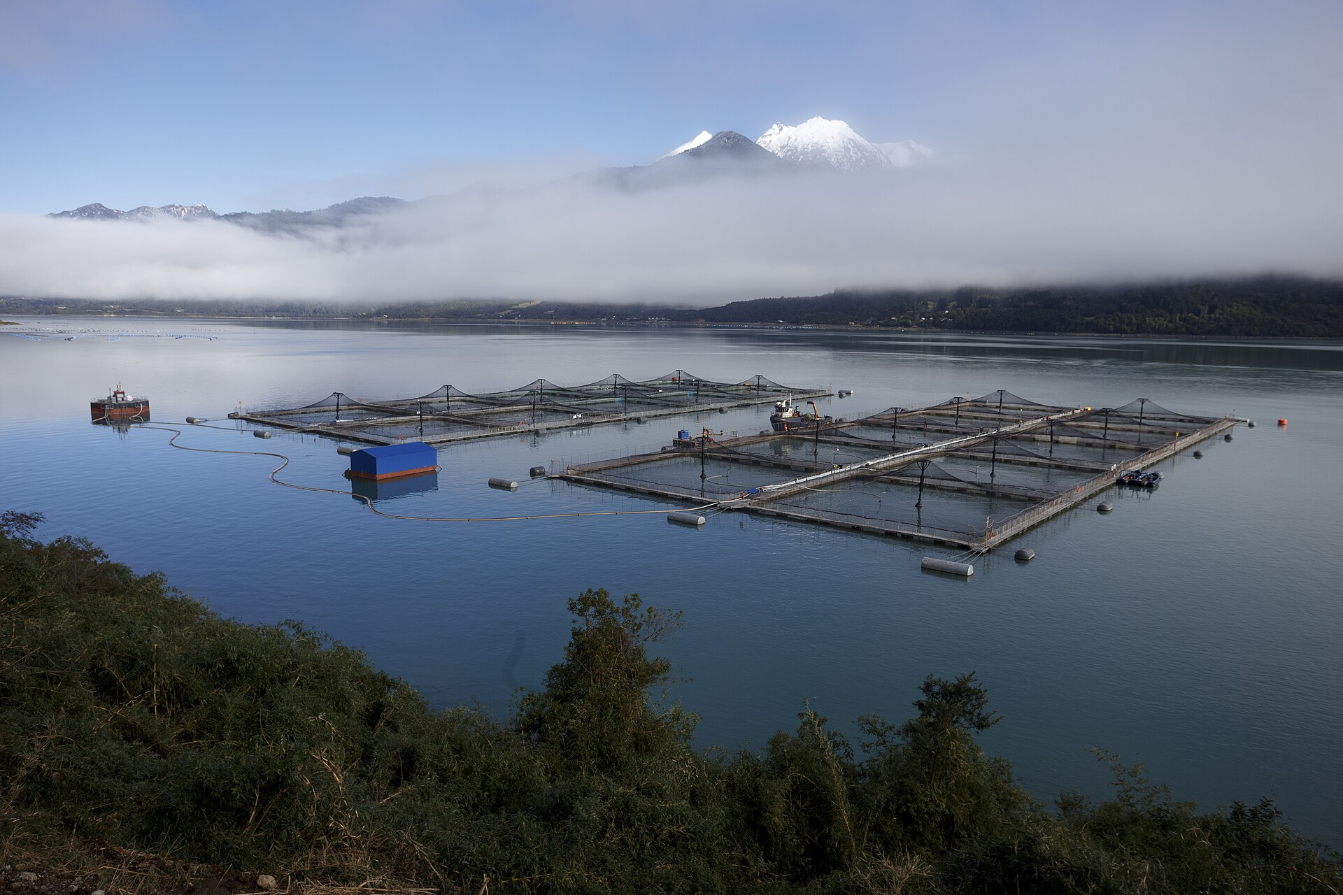
Using Earth Index as an independent validation tool for aquaculture regulations in Chile
Earth Index offers an independent satellite monitoring solution for global aquaculture, empowering regulators, researchers, and non-profits to ensure compliance and sustainable practices.


Two Foundation Models Are Better Than One
A Second-Stage Classifier on AlphaEarth Embeddings, and the Case for Domain-Specific FMs